The other day we decided to head out for a canoe ride on Long Pond in Benton, NH. Long Pond is within the White Mountain National Forest and as its’ name describes it is a very long, narrow, and somewhat shallow pond. This was Alden and Lindsay’s first visit to Long Pond, but Andrew had previously visited the shore a few times while traveling by on the Forest Service road to the east called Long Pond or North and South Road. He never put a boat on it’s waters, but has always had it on the list for a “must-visit”.
This was anticipated to be a very special place as it is located in a higher elevation valley between the massive bulk of the Mount Moosilauke mountain complex to the east, and a lower range to the west that buttresses the Connecticut River Valley.
There is a nice boat launch with plenty of parking (be sure to pay your fee in the iron ranger). The pond has a dam on one end and we saw a family fishing off of it while we were there.
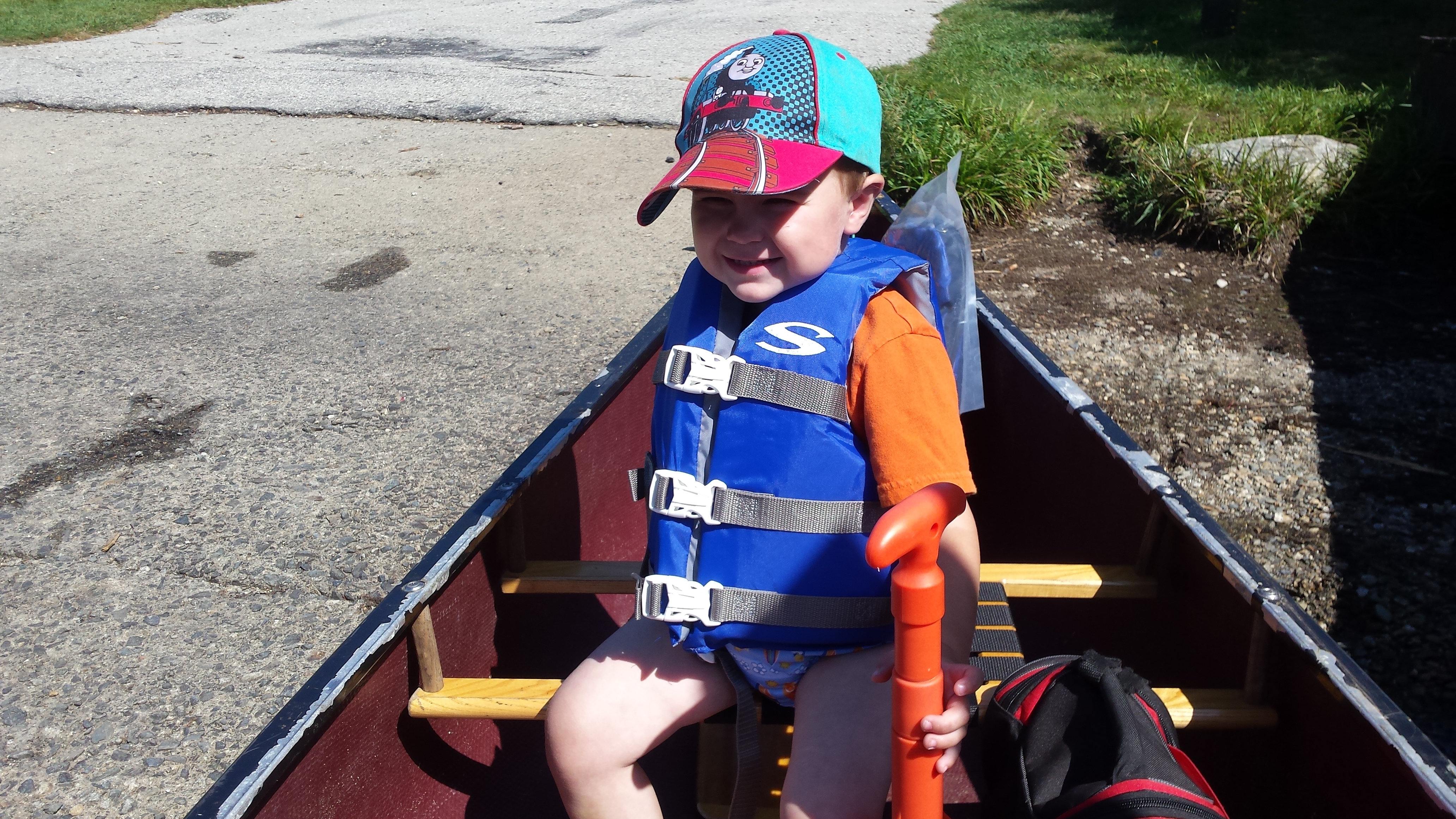
Alden is ready to paddle on Long Pond.

Long Pond
There were many other paddlers out there on this beautiful sunny morning. The fun thing about this pond are its’ many rock islands that you can explore. The water is shallow around these islands, fun to be able to get out and stretch your legs, but don’t get your boat stuck on rocks and logs!

Long Pond has many small islands to paddle around and explore.
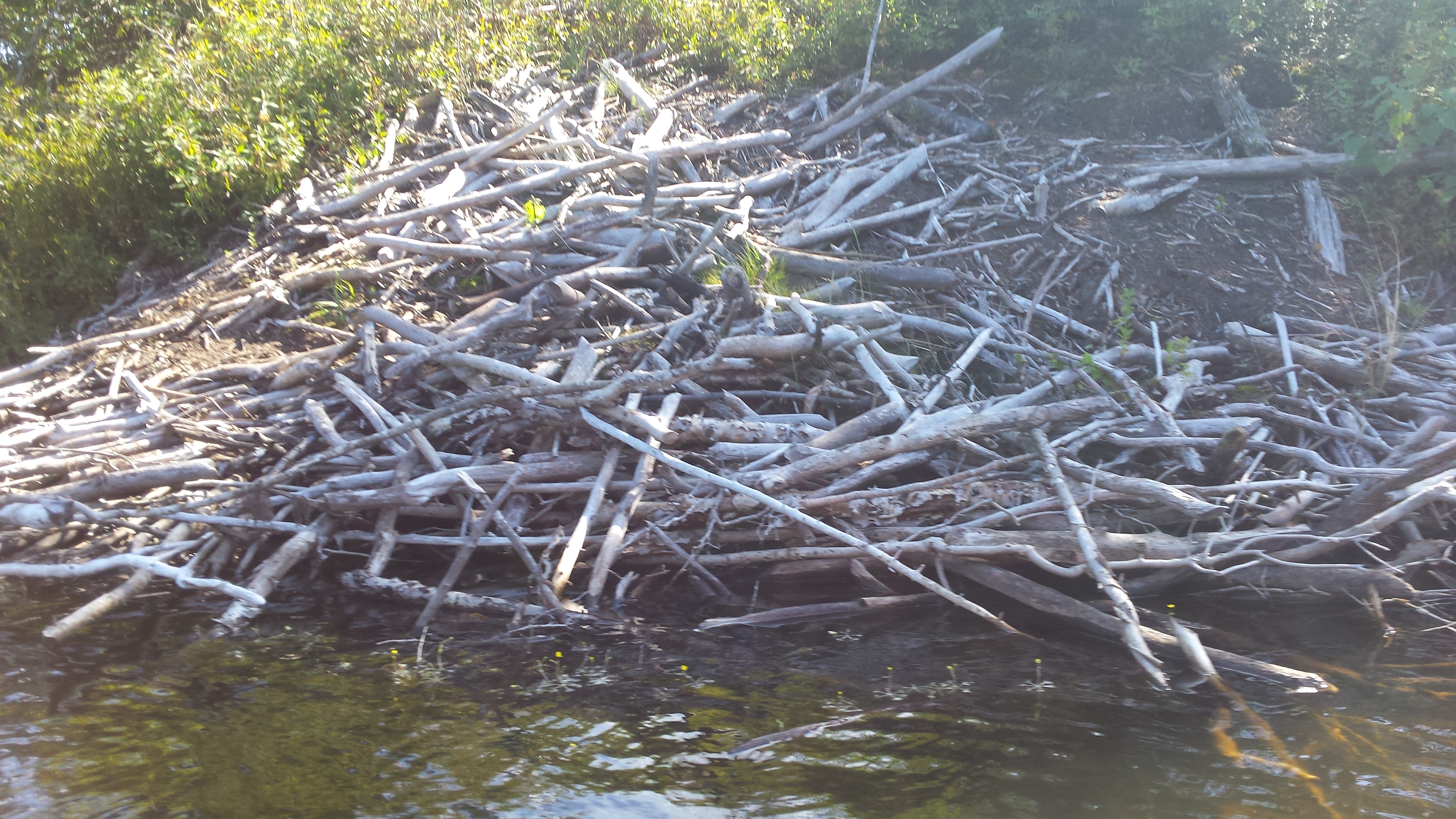
A beaver lodge on the side of one of the islands.

Alden looking for fish from the canoe.
We took our time, paddling on the western edge of the pond heading south. The pond is surrounded by a spruce-fir forest, making little opportunities for shade along the shore (unlike a hardwood forest shoreline with its’ overhanging maple tree branches). However, this type of shoreline seems to evoke a more secluded feeling.
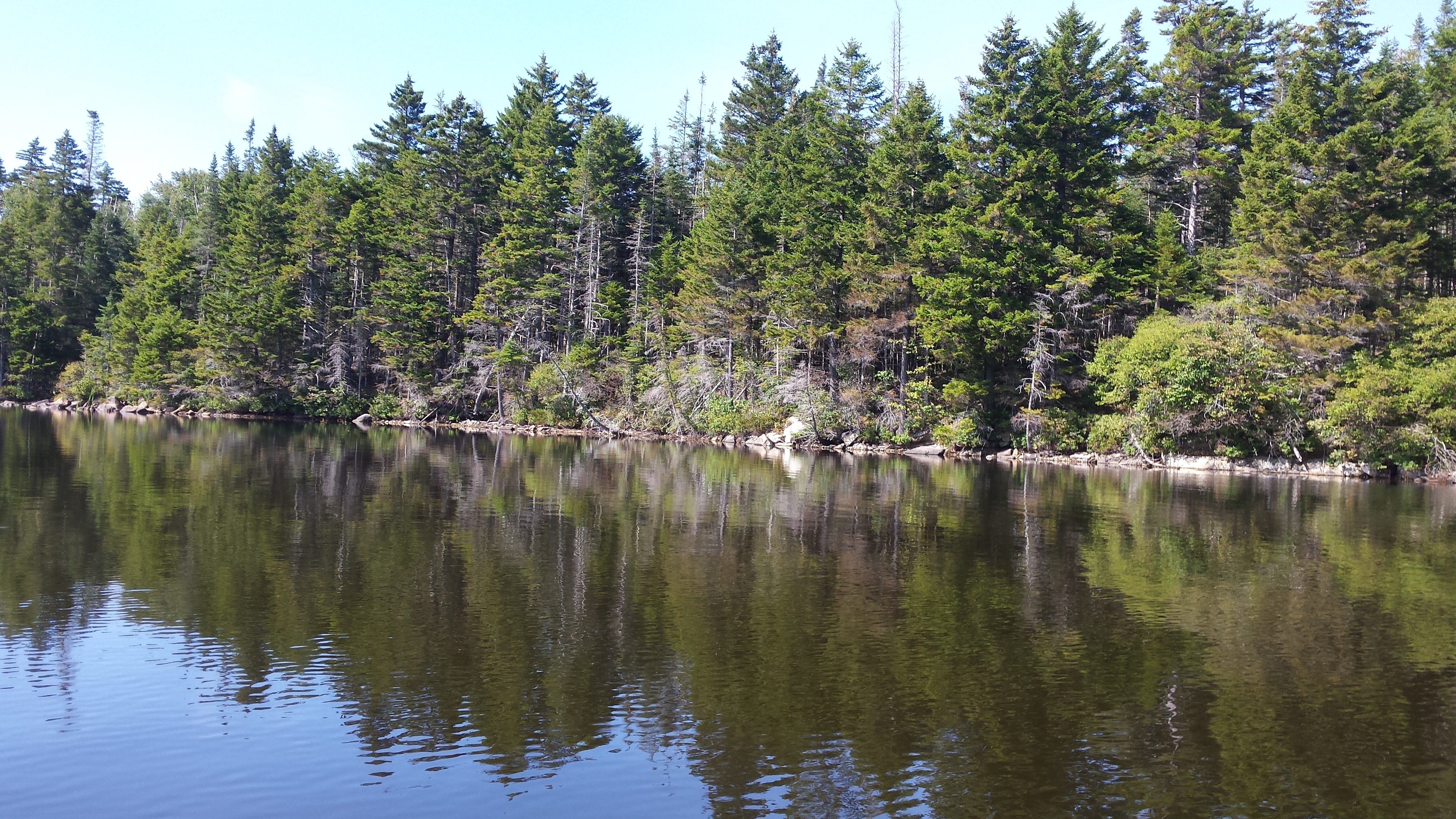
Evergreen shore.

Alden pulling his red boat next to the canoe.

The south end of the pond.
We saw lots of wildlife: fish, crayfish, osprey, and what we think were peregrine falcons. The views were spectacular on this bluebird day. We didn’t realize the sunshine we were getting until we got home that night to slight sunburns.
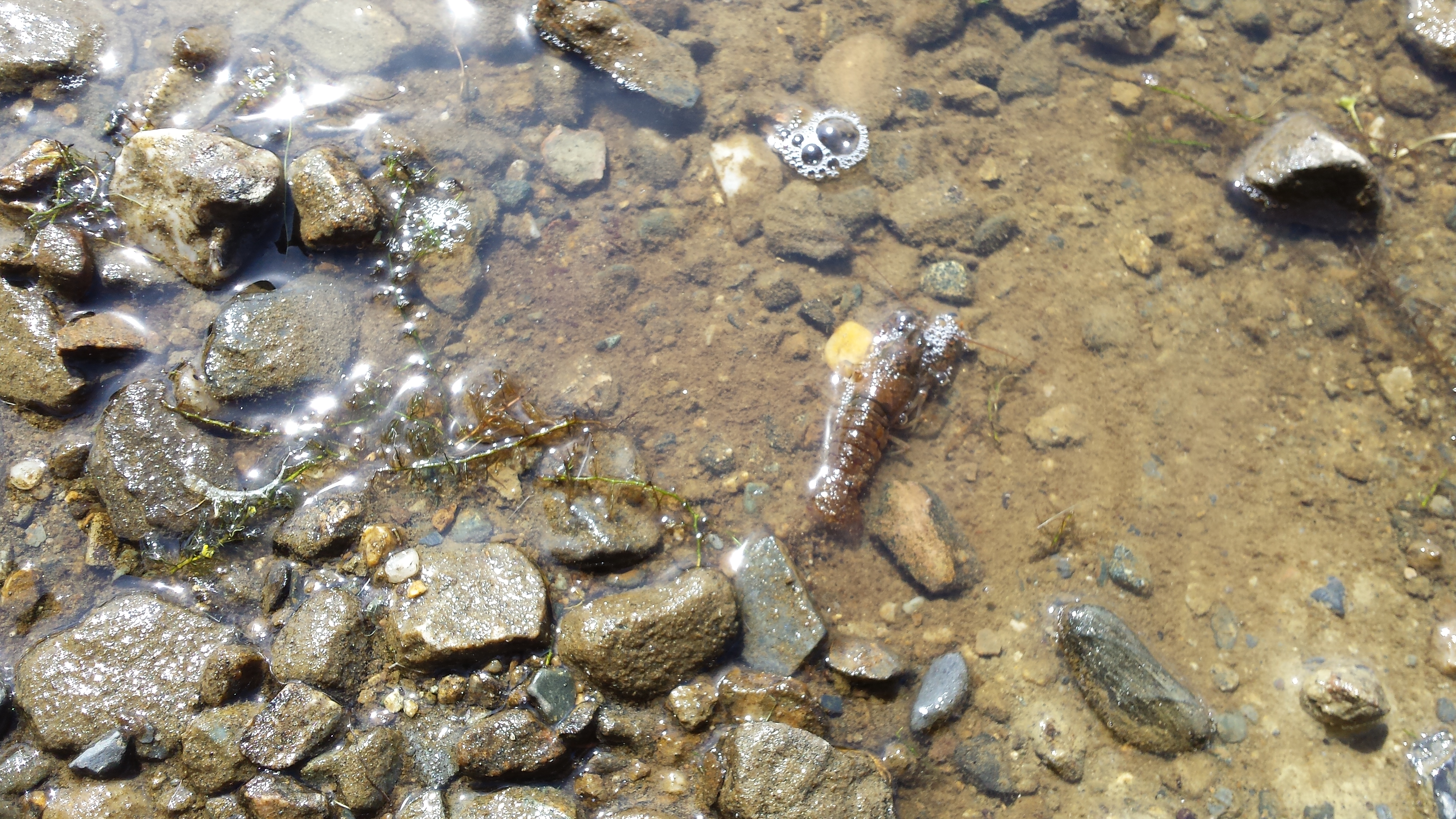
Crayfish

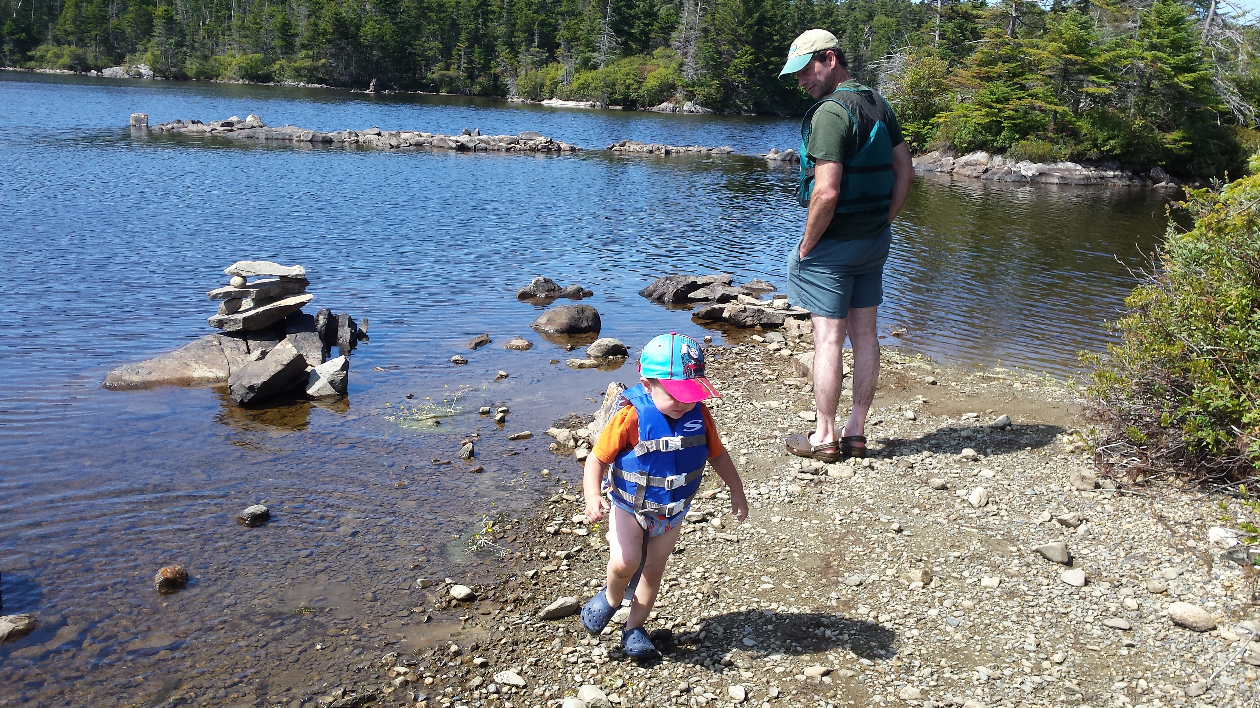
Smiling next to a rock pile someone built. Alden proceeded to add his own rocks to the display.
Stretching our legs at one of the islands.
After checking out the semi-boreal marsh on the south end with hopes of spotting a moose or some turtles, we pointed the canoe north and made our way along the eastern shore. On the way back Andrew had unexpected glimpses of expansive ledges rising from the forest to the northwest. He realized after a look at the map that these were mountains he had always wondered about when looking west from the summits of the higher peaks to the east. Some research later at home revealed some interesting possible future hiking explorations of Black, Sugarloaf, and Hogback Mountains; all of which feature either open ledges, precipitous cliffs, or abandoned ladder trails and bushwhacks.
This was a really wonderful, quiet pond that was a pleasant place to paddle.

What a fun day!


Pingback: Island Adventures | Outdoor Adventures