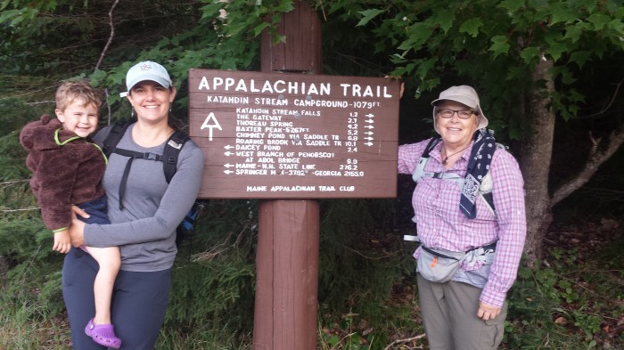
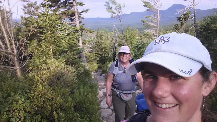
As part of our Baxter Trip, Lindsay and her Aunt Jean, climbed Mount Katahdin. You can read about the rest of our trip in Too Many Mice, Not Enough Moose. Jean has been section hiking the Appalachian Trail, so we wanted to hike this trail up the mountain. Lindsay had hiked this mountain many years ago along the Knife Edge, but luckily the AT trail runs on the western part of the mountain, up the Hunt Trail.
Off we go!
We were told by the Ranger that we had to arrive at the trailhead by 7am to ensure that we would be able to hike up. Baxter State Park has strict rules about when and how many hikers can be on the mountains. They also do not allow kids under age 6 to be above treeline. So, Andrew and Alden drove us from our campground (just 15 minutes) to the trailhead around 6:30 am. We were surprised that the parking lot was pretty empty and there was no Ranger to check in – just the roster.
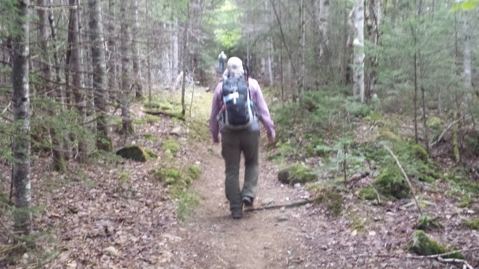
Heading up the Hunt Trail.
The first mile on the Hunt Trail is gradual and easy and we breezed up the trail to the Owl Trail junction and crossed over Katahdin Stream. Then the trail became steep, with many rock steps. Jean and Lindsay took their time and chatted with the folks along the way. Many AT thru-hikers passed us, looking fit and excited to finish their summer-long journey. There were lots of families, couples, and groups of all ages hiking the trail. Jean enjoyed meeting and chatting with them. We even received an invitation to join a group for lobster and beer back in Millinocket that evening (sorry we didn’t make it!).
Just 4.1 miles to go.
Jean crossing over Katahdin Stream.

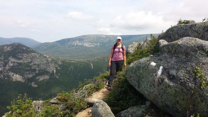
Starting to get some views!
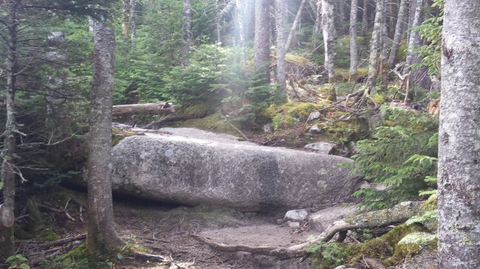

At The Gateway, the trail was not only steep, but had huge boulders that required scrambling, climbing, holding onto rock bars, and hoisting ourselves up. A strong AT hiker (heading down no less) even helped lift Jean up and over a huge boulder where her legs couldn’t quite get the right footing. Both of us questioned how we would ever get down some of these sections, but we pushed that out of our minds as we continued upward.
Where exactly does this trail go?
Taking a break with a breathtaking view!
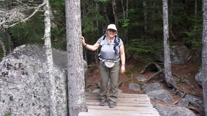
Lindsay stops for a photo opt.
We powered on, taking breaks, enjoying the scenery, and wondering when the infamous flat “Tablelands” section would begin.
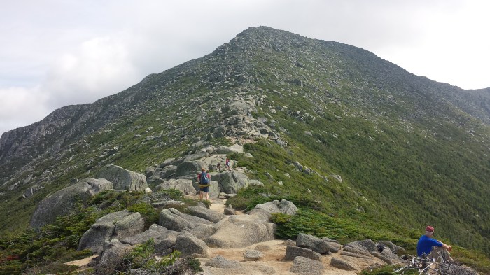
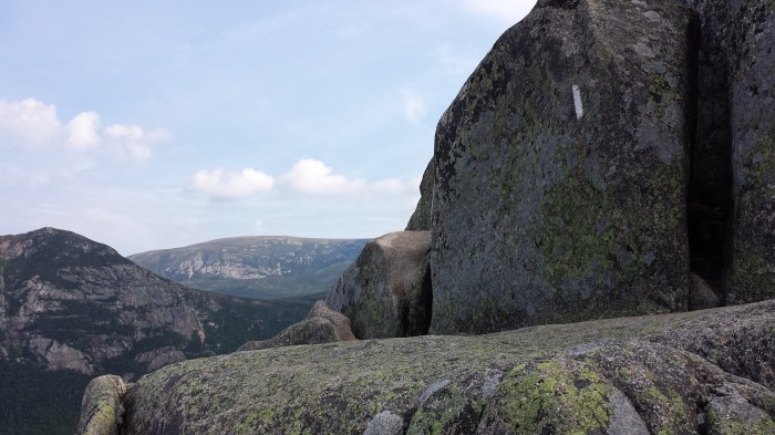
The trail takes us along this spine.
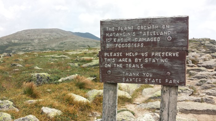
Sign at the start of the Tablelands.
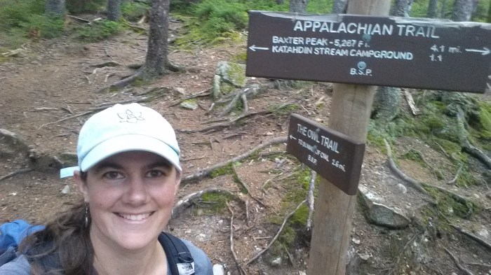
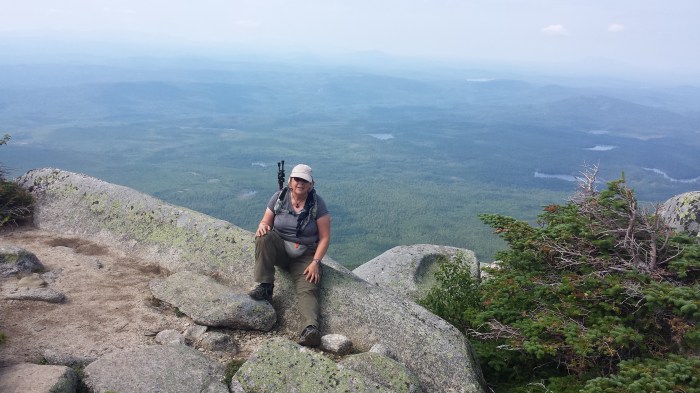
Finally at 4 miles, we hit the Tablelands, a flat 1 mile section. The air was thin, the views were amazing, and we could just barely make out people on a ridge up above us. After passing Thoreau Spring, we were just about to reach our cut-off time. Jean was exhausted and we both worried about the hike back down, so while Jean stopped for a long break and to fuel back up, Lindsay ran up to Baxter Peak (5,267 feet) for some photos and celebratory chocolate bar. Friends that were made along the trail congratulated her and took a summit photo.
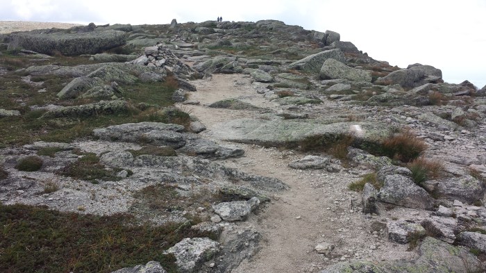
Trail along the tablelands.
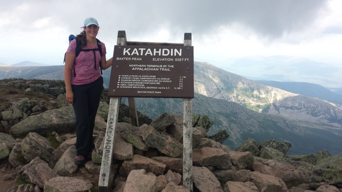
Lindsay reaches Baxter Peak.
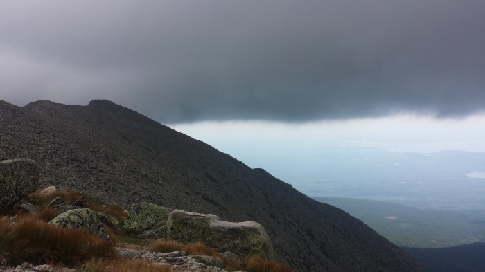
Dark clouds threaten the summit.
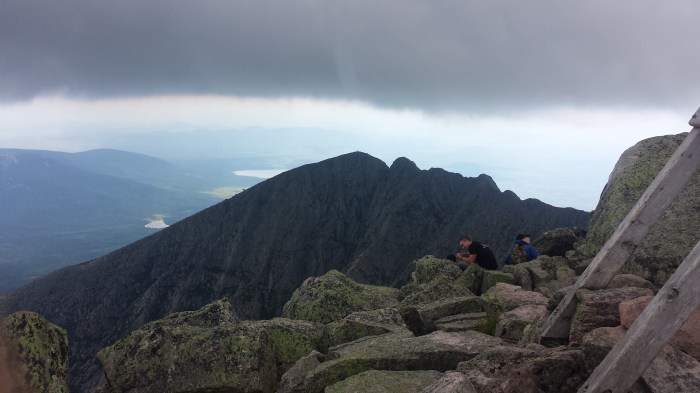
The knife edge!
The hike back down was slow and steady. We squeezed our way back through The Gateway section, even getting stuck on a particularly tight boulder shimmy. When the boulder section gave way and we were back down below treeline, we both sighed in relief. We still had a few miles to go, but that section was over. Back at the Katahdin Stream crossing, Lindsay was anxious to reach Andrew and Alden and went ahead to check on how their day had been. The boys knew that we were on our way because hikers coming off the trail had noticed Alden and had asked “Do you have an Aunt Jean? She’s on her way down too.” At the trailhead, Lindsay and Alden filtered water and Andrew hiked up the trail a little ways to meet Jean and carry her pack.

It was a long day of hiking but well worth the effort. Jean can cross off Katahdin from her list. And while Lindsay thought her two times up this mountain, was enough, Alden has informed her that he would like to hike the mountain when he gets older (To be continued…).

Pingback: Too Many Mice, Not Enough Moose | Outdoor Adventures